I nostri elaborati scientifici
|
Poster UniMe |
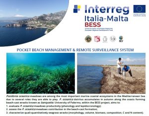
Poster UniPa |
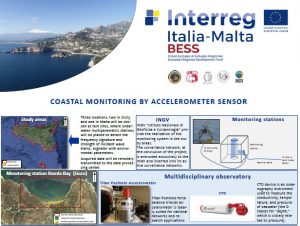
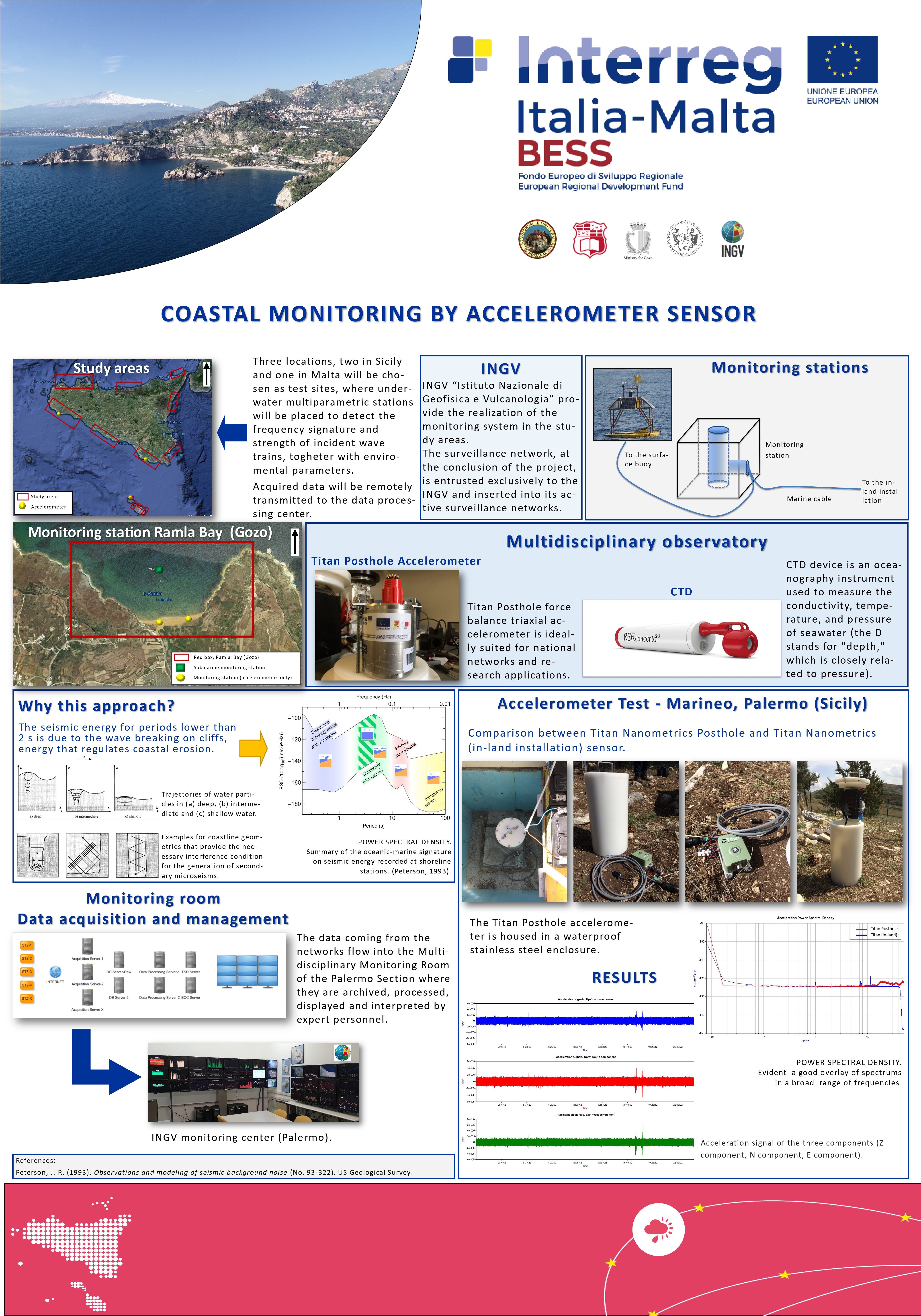
Poster INGV |
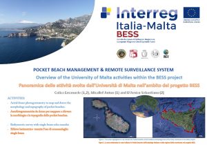
Poster Malta |
Poster Gozo |
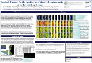
Sentinel-2 images for the monitoring of dissolved contaminants on Sicily’s south-east coast |
The Contribution of Multispectral Satellite Image to Shallow Water Bathymetry Mapping on the Coast of Misano Adriatico, Italy |
Shallow water bathymetry by satellite image:a case study on the coast of San Vito Lo Capo Peninsula, Northwestern Sicily, Italy |
|
|
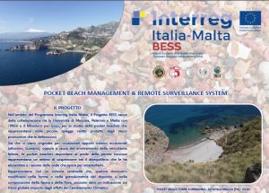
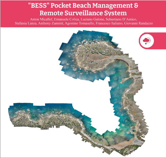 “BESS” Pocket Beach Management & Remote Surveillance System “BESS” Pocket Beach Management & Remote Surveillance System |
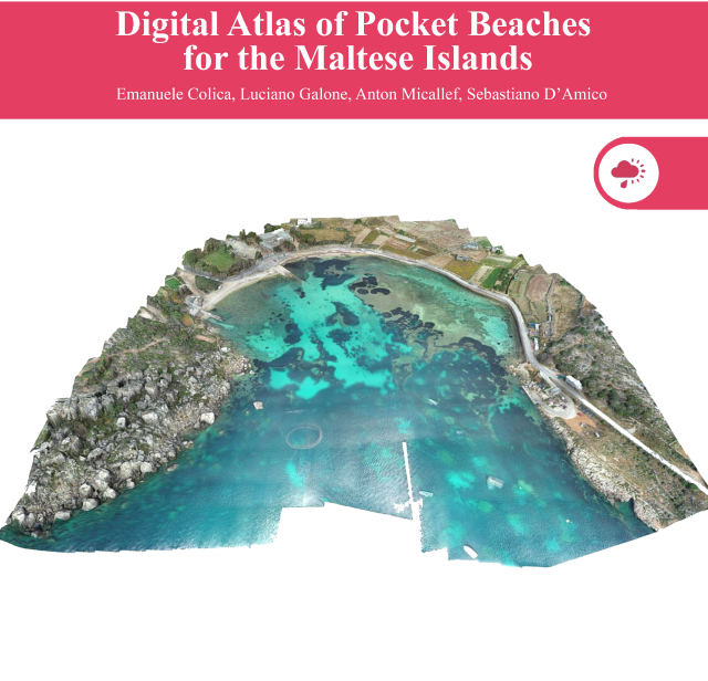
Digital Atlas of Pocket Beaches for the Maltese Islands |
 |