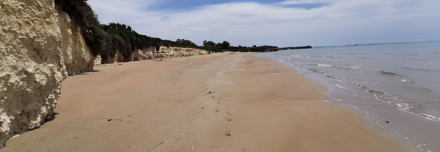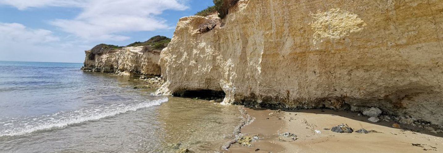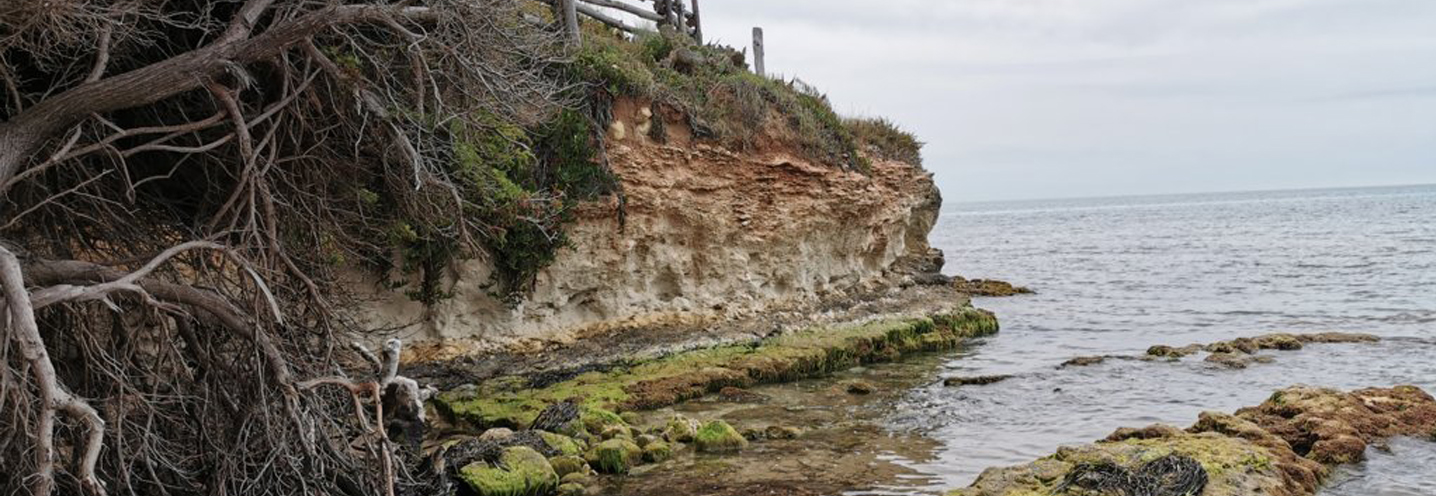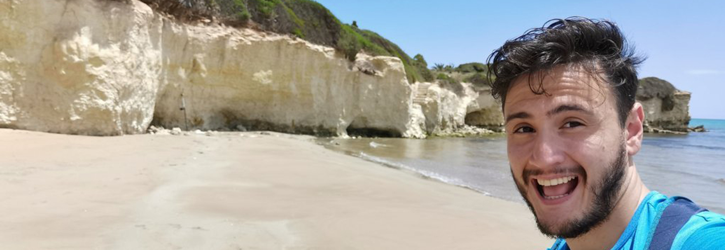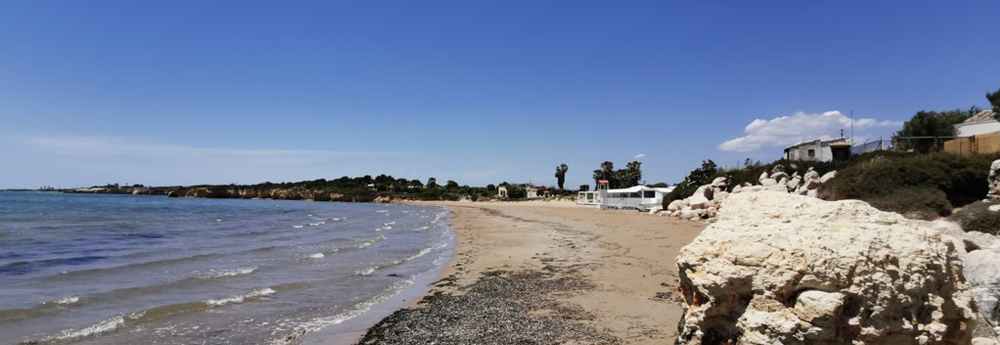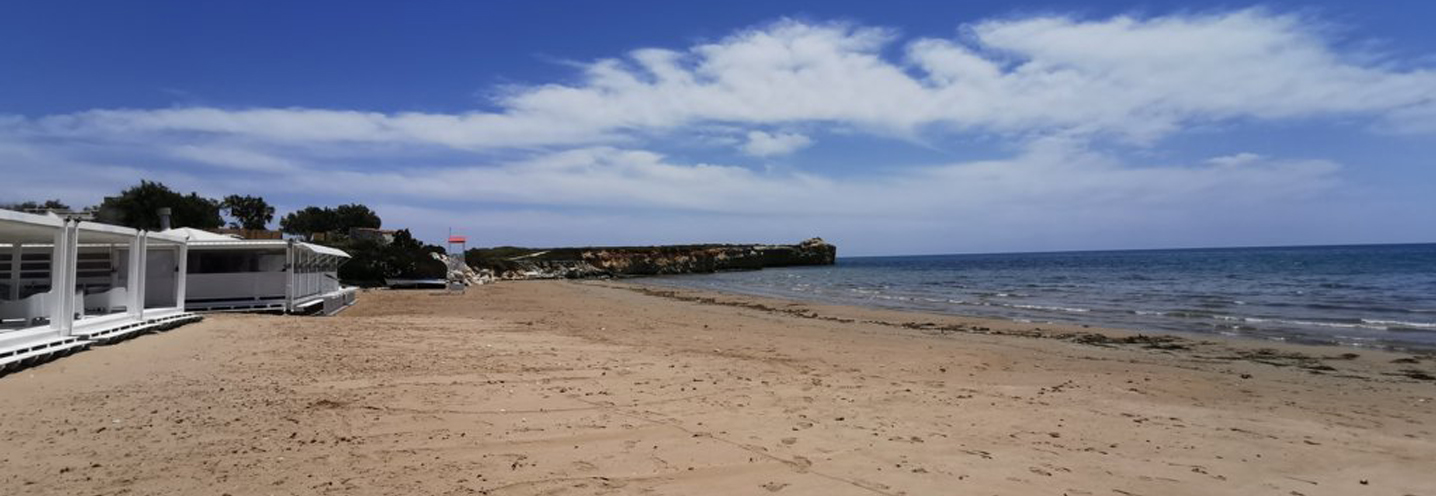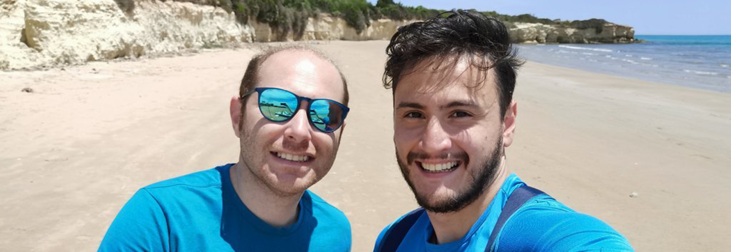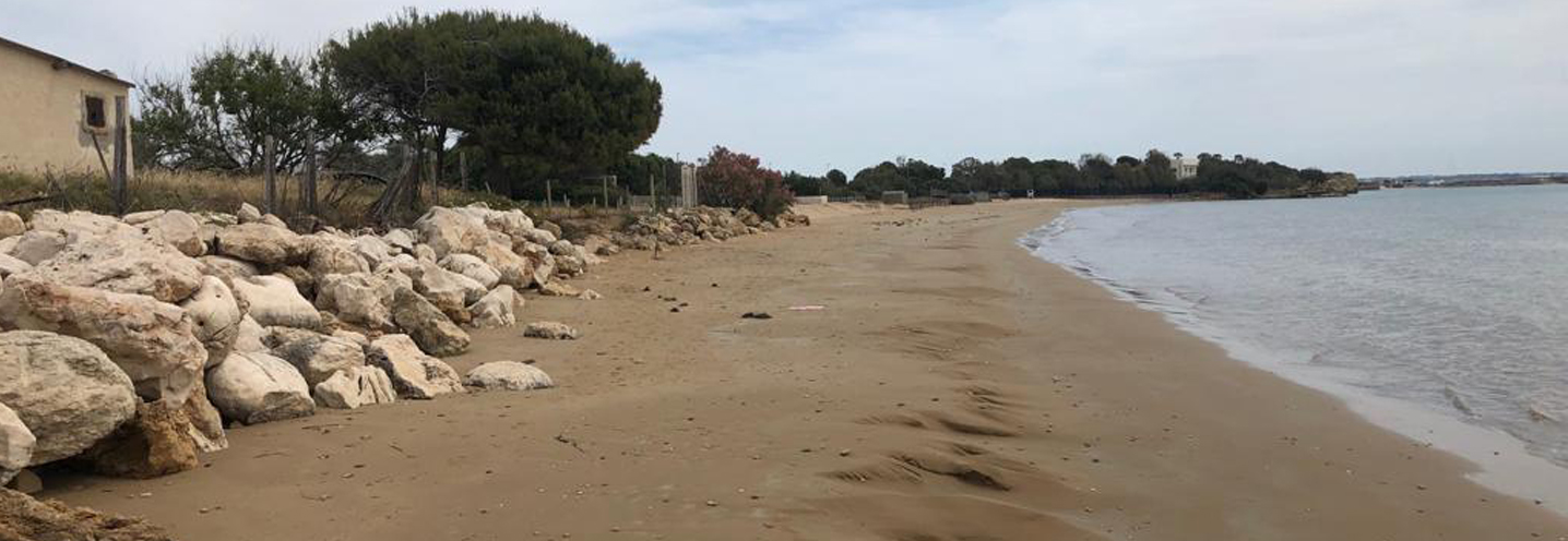
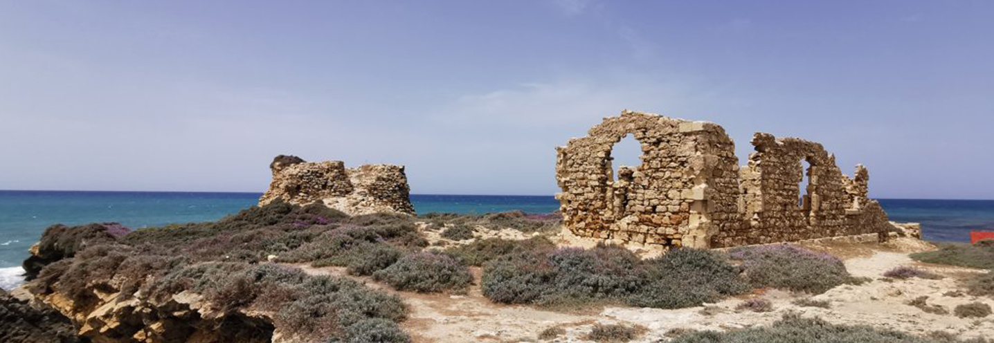
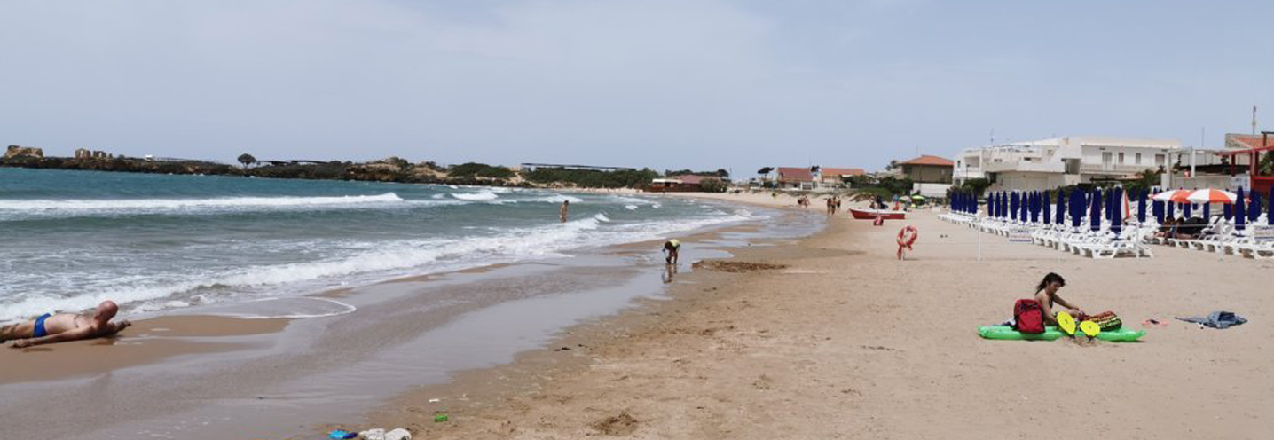
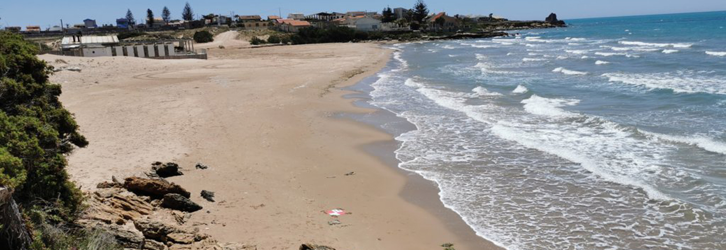
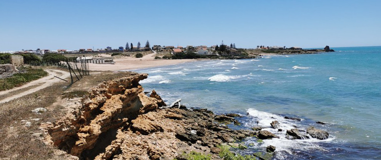
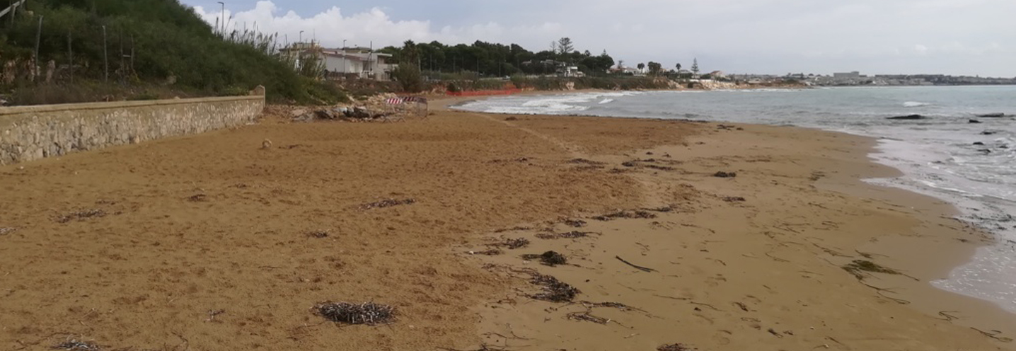
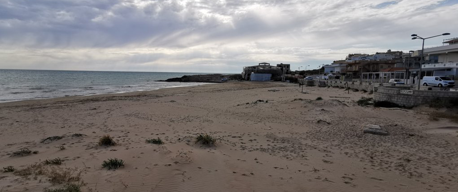
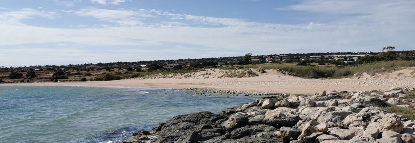
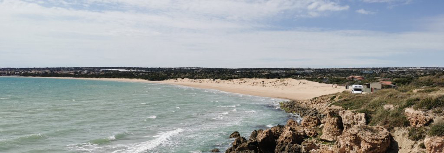
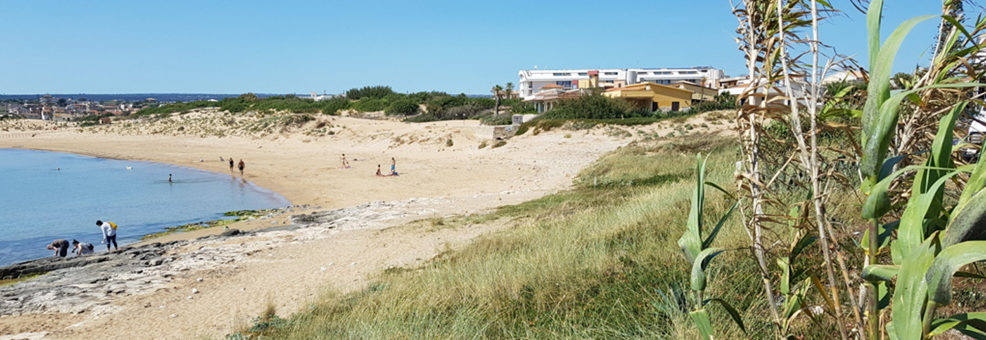
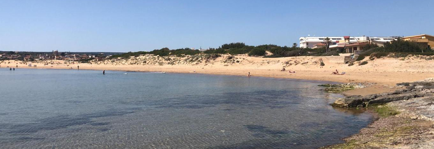
- Ragusa – Punta Braccetto
Pocket beach code: SIC60RG01
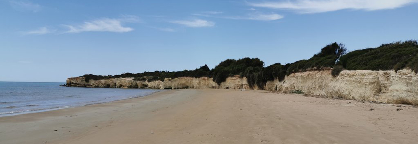
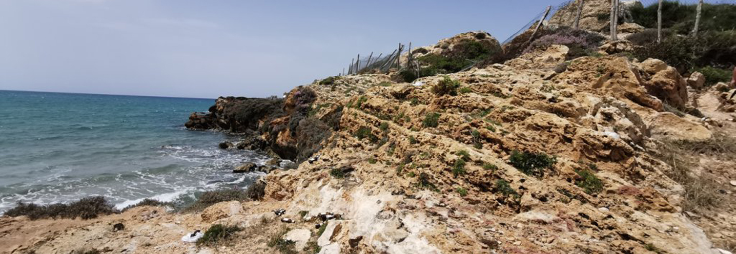
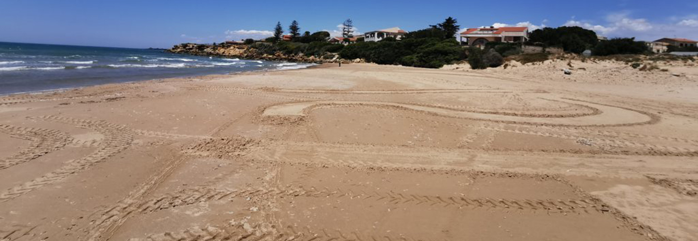
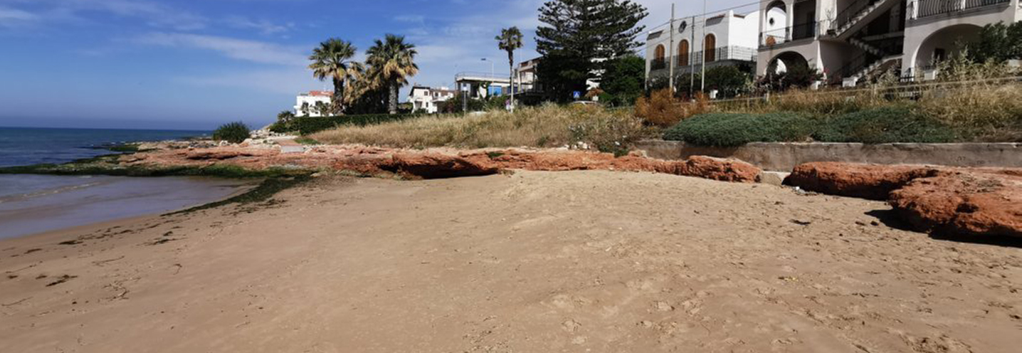
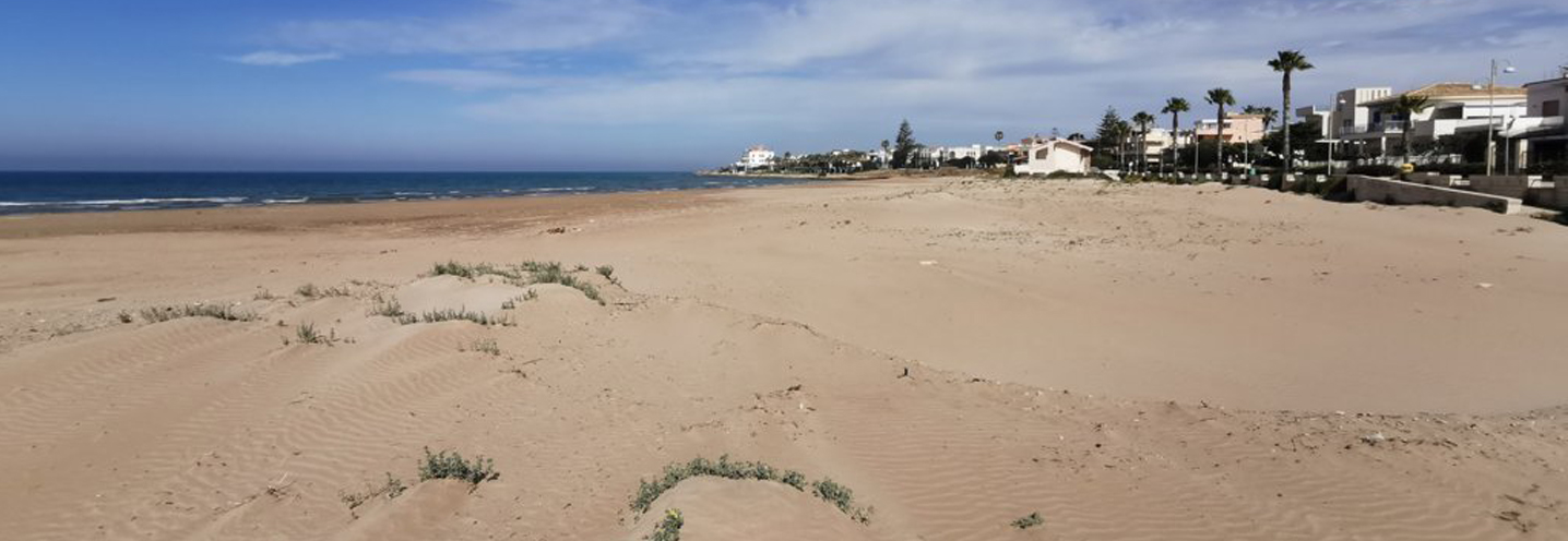
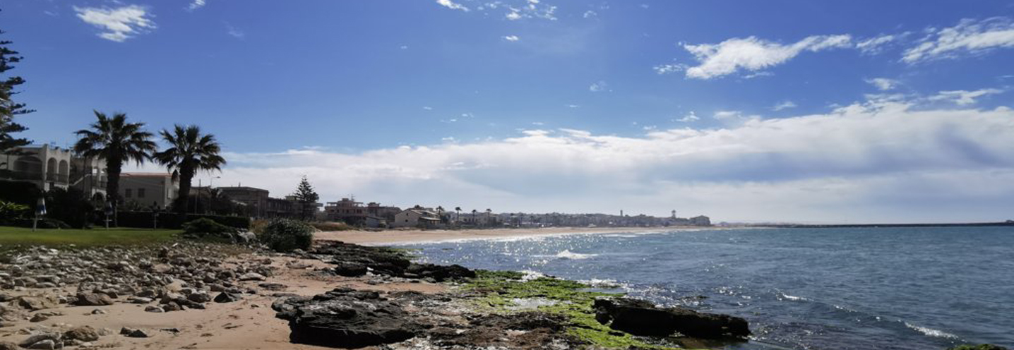
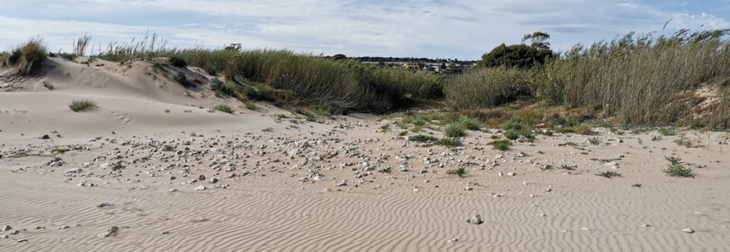
The Pocket Beach (PB) is located in the south-eastern part of Sicily, and is the westernmost of all the PBs in the province of Ragusa. Specifically, it is located in Punta Braccetto and falls within the Physiographic Unit of PAI No. 7, which has as its western limit “Punta Braccetto” and as its eastern limit “Isola delle Correnti”.
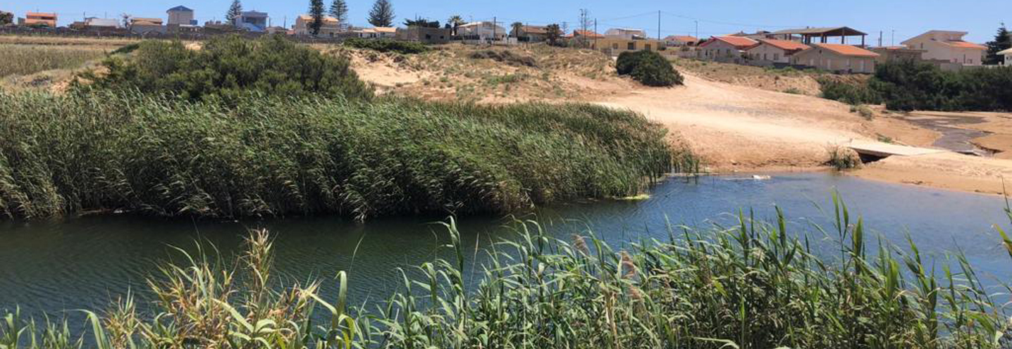
The PB is bounded to the west by “Punta Braccetto” and to the east by another smalled headland. There is no cliff behind this PB and the stream “Cava di Mistretta” flows to the beach. On the western promontory stands a site of historical significance, known as “Torre Vigliena”. At this point people can enjoy the beautiful panorama of the entire PB. In fact, it is an area that is highly sought by tourists.
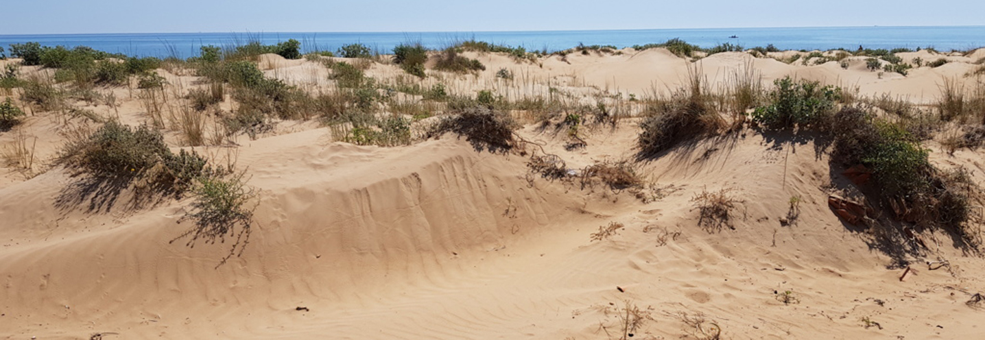
The area behind the PB is abundant in alluvial deposits, which are relatively recent. One can also find coastal plain deposits consisting of carbonate pebbles of varying sizes, from centimeters to decimeters, in a sandy-silty yellow-brownish matrix. The area also consists of aeolian sands and dunes, about 800m from the inland coast.
The promontories that delimit the PB consist of terraced marine deposits, composed of carbonate white-yellowish sands, and conglomerates with carbonate and arenitic clasts flattened with a sandy matrix, of metric thickness.
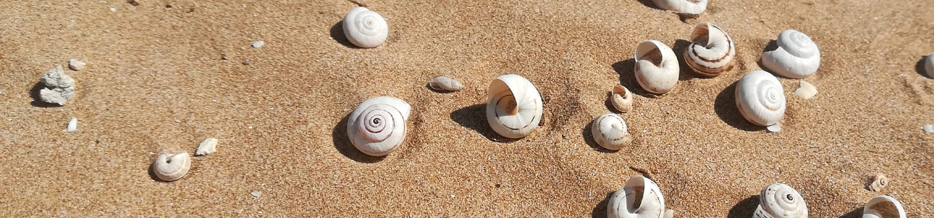
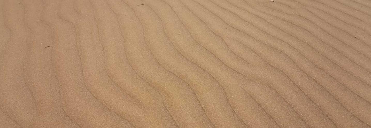
The sediments of PB are characterised by fine, yellow, well-classified sands with a predominantly quartz composition and to a lesser extent carbonate.
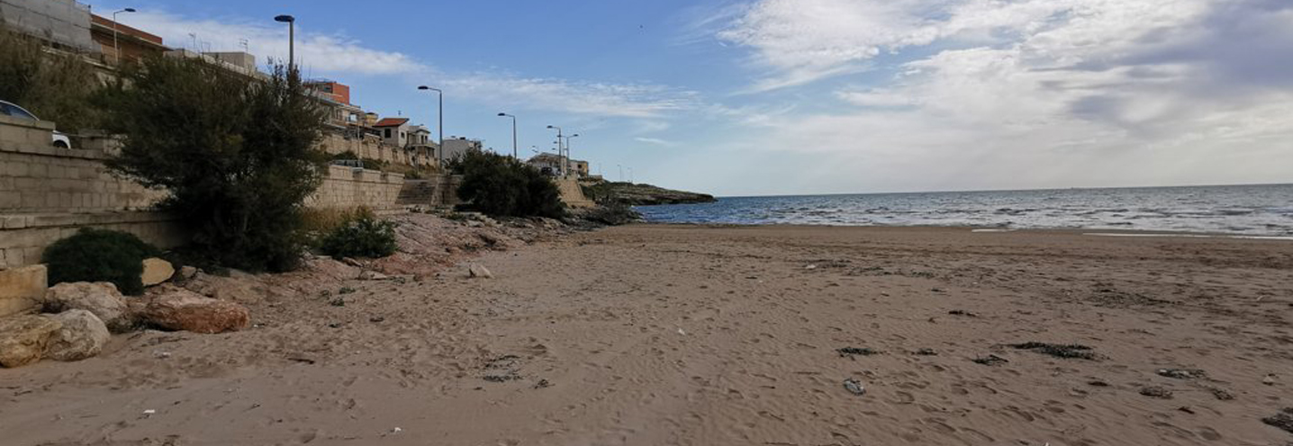
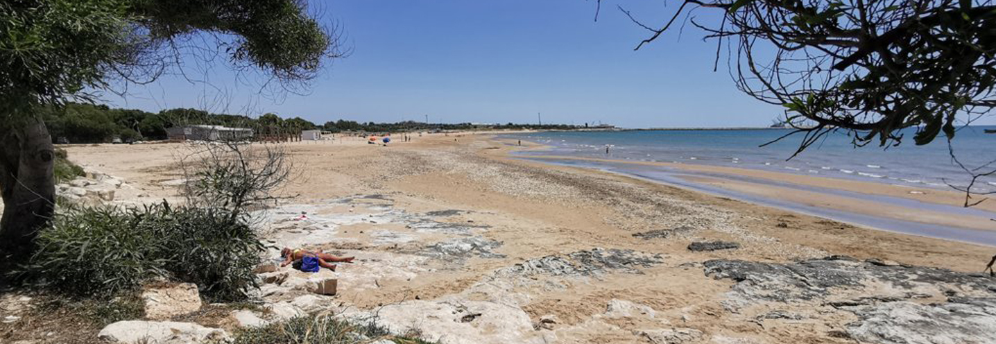
- Santacroce – Torre di Mezzo
Pocket beach code: SIC61RG02
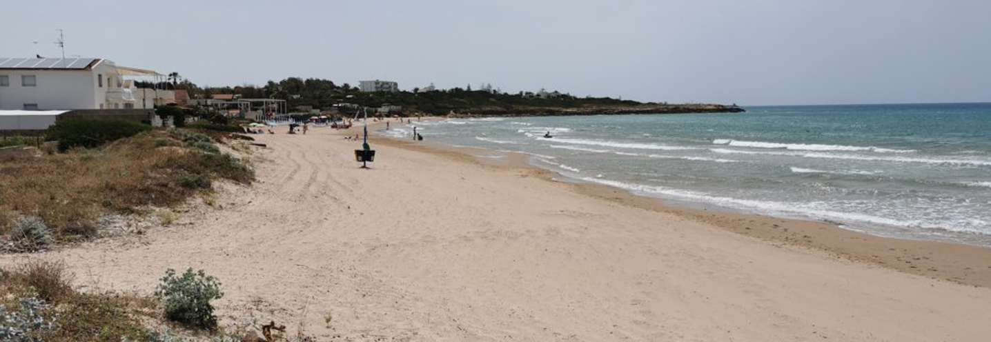
This Pocket Beach (PB) is located in the south-eastern part of Sicily, in the province of Ragusa, in “Torre di Mezzo” and belongs to the PAI Physiographic Unit No. 7, which has “Punta Braccetto” as its western limit and “Isola delle Correnti” as its eastern limit.
The south of the PB is delimited by “Punta di Mezzo”, and the north-west by a smaller promontory. There is no cliff behind the PB and it is crossed by a stream called “Cava della Fontana”.
The area behind it is abundant in alluvial and coastal plain deposits made up of carbonate pebbles, ranging in size from centimeters to decimeters. The pebbles are in sandy-silty yellow-brownish matrix and the area also consists of aeolian sands and dunes.
The promontories that delimit the PB consist of terraced marine deposits composed of carbonate-white-yellowish sands, and conglomerates with carbonate and arenitic clasts flattened with a sandy matrix, of metric thickness. From a granulometric point of view, the sediments fall into the class of fine to medium sands, yellowish in color, and with a predominantly quartz composition and to a lesser extent carbonate.
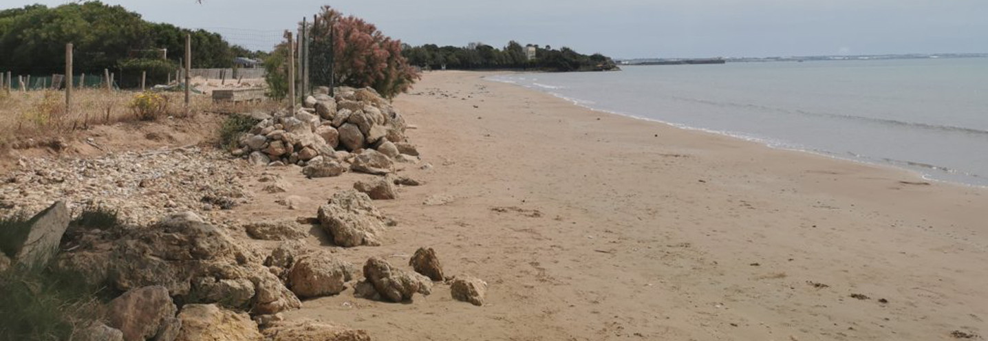
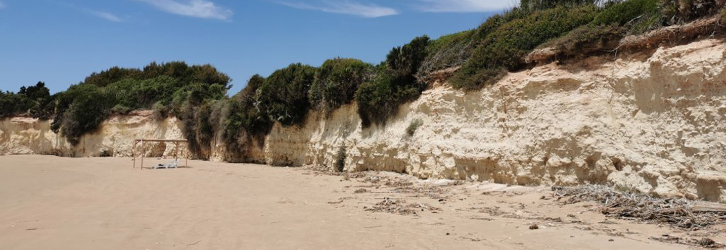
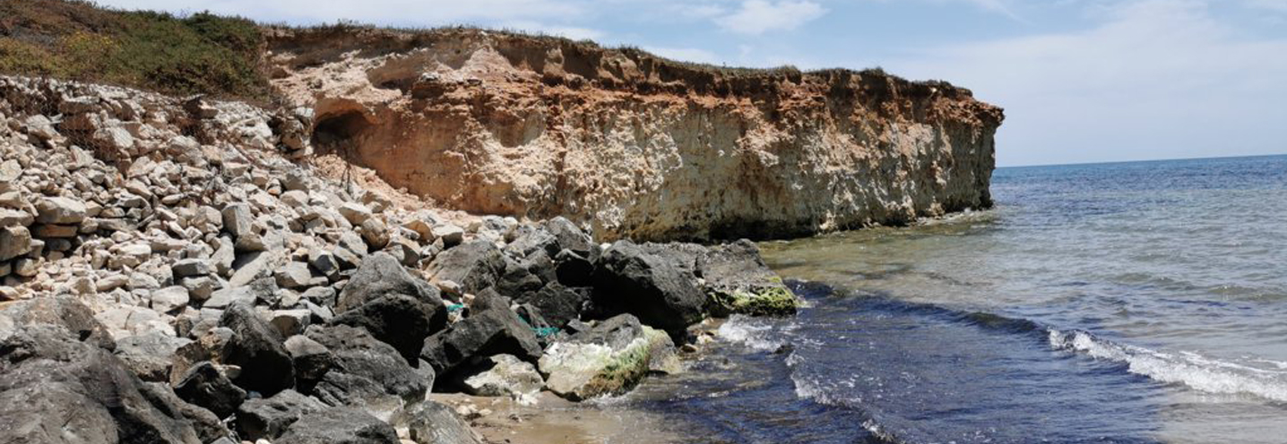
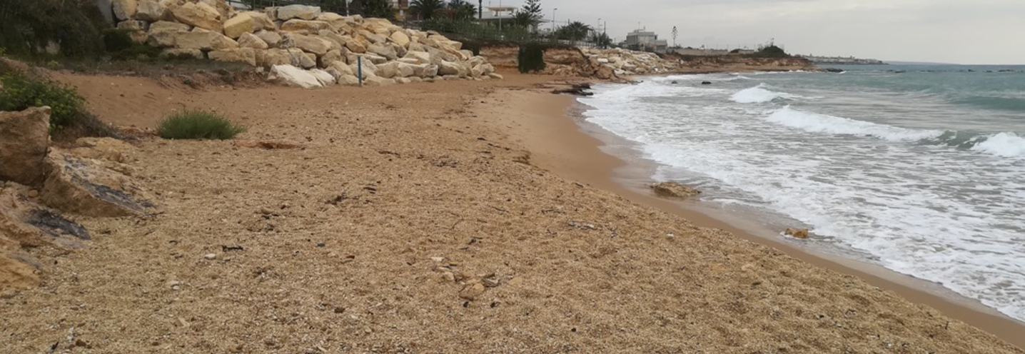
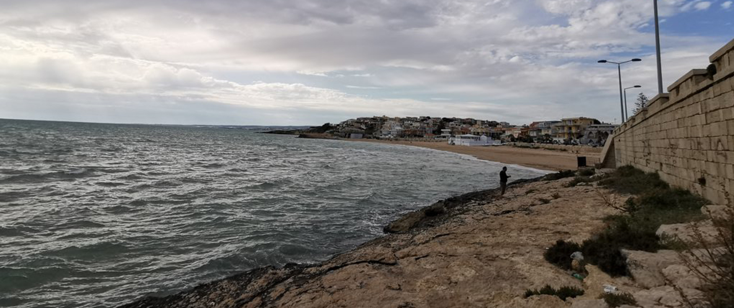
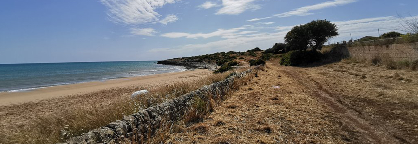
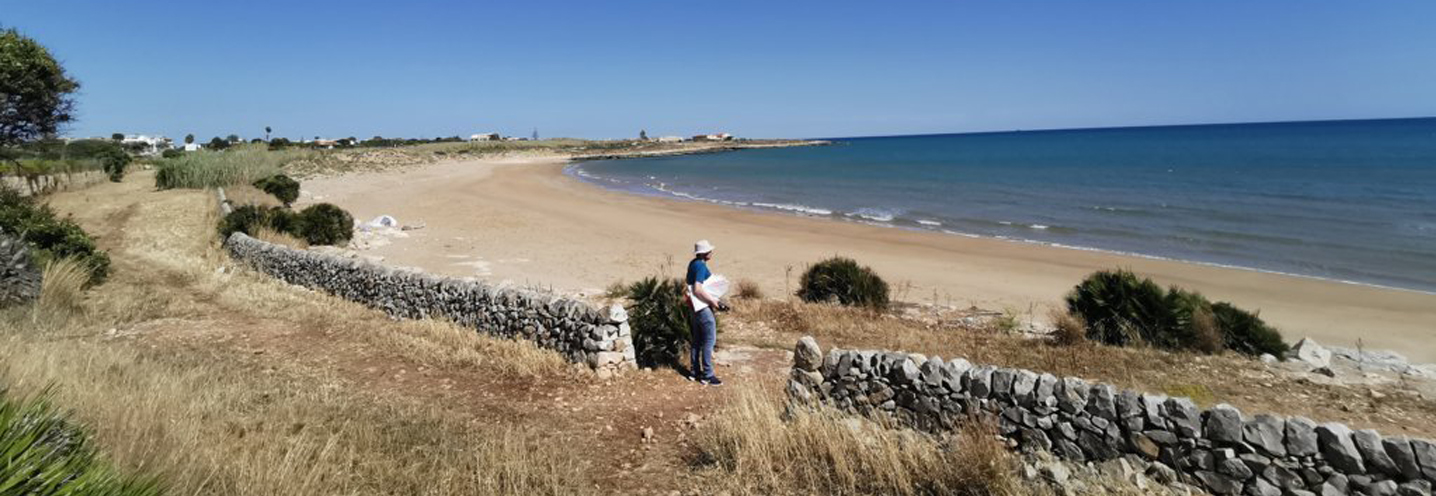
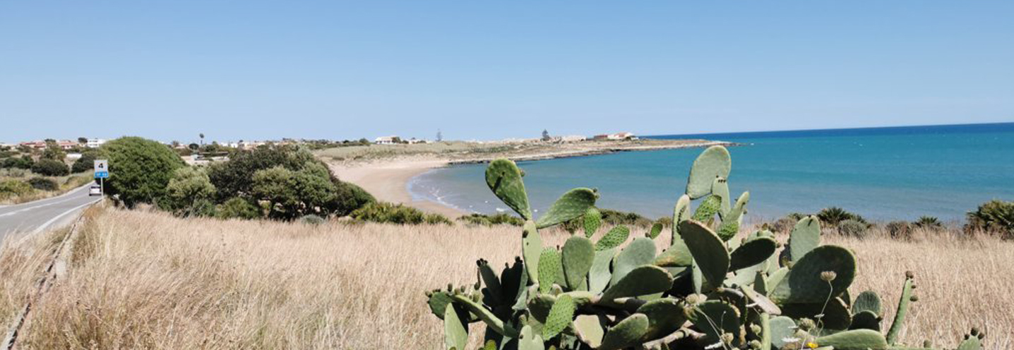
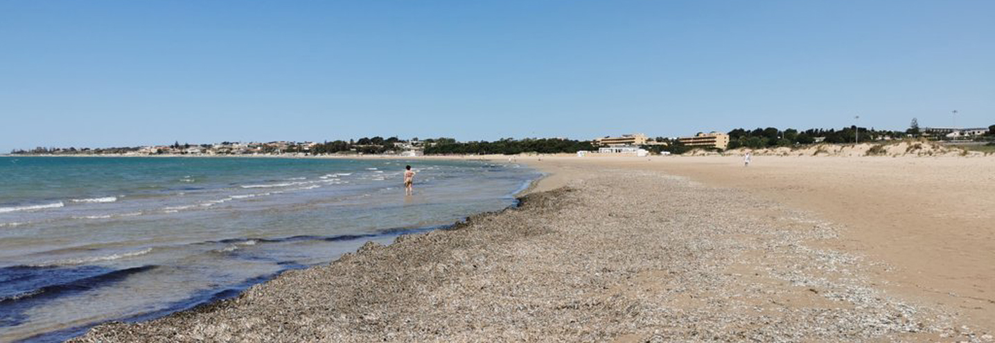
- Santacroce – Caucana
Pocket beach code: SIC62RG03
This Pocket Beach (PB) is located in the south-eastern part of Sicily, in the municipality of Santa Croce (Ragusa). It falls within the Physiographic Unit of PAI No. 7, which has “Punta Braccetto” as its western limit and “Isola delle Correnti” at its eastern limit.
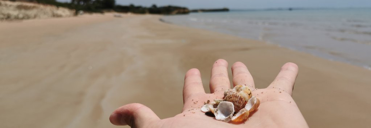
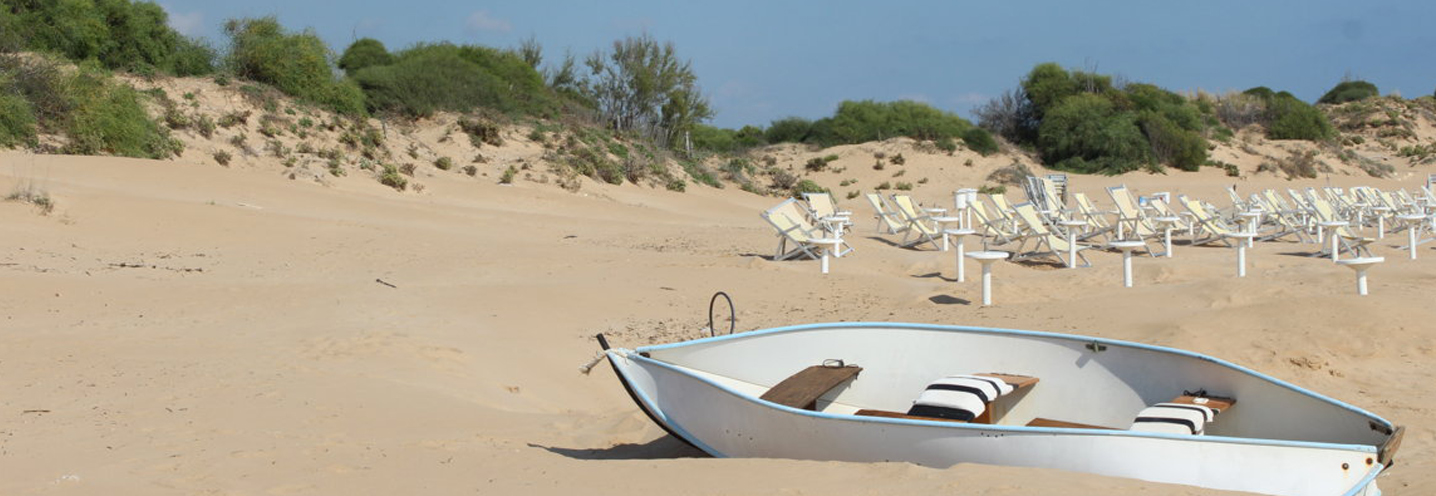
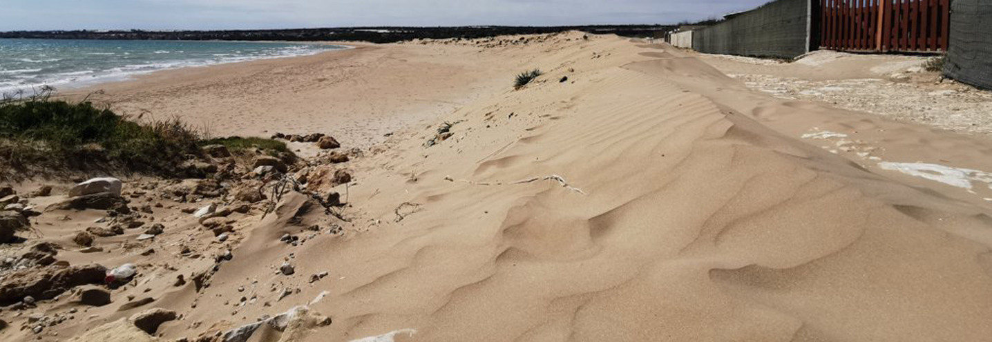
The PB is bounded by small promontories and by a rear cliff that is no more than 3m above sea level. There are no waterways and in some stretches of the beach there are important deposits of the seaweed Posidonia oceanica.
On the north of the PB, one can find an important terraced marine deposit consisting of carbonate yellowish-white sands. The area also features a deposit of aeolian sands and dunes that are recent in nature. Further upstream, there is a wasteland deposit consisting of carbonate elements with a sandy grainy carbonate matrix, partially stabilised by cementation phenomena due to the circulation of water. In the eastern zone, there is a floodplain consisting of carbonate pebbles of varying sizes, from centrimeters to decimeters, in a sandy-silty yellow-brownish matrix.
The PB is composed of sediments ranging from fine sands to medium sands. The sands are yellowish in colour and from the compositional point of view they mainly consist of quartz and carbonate clasts.
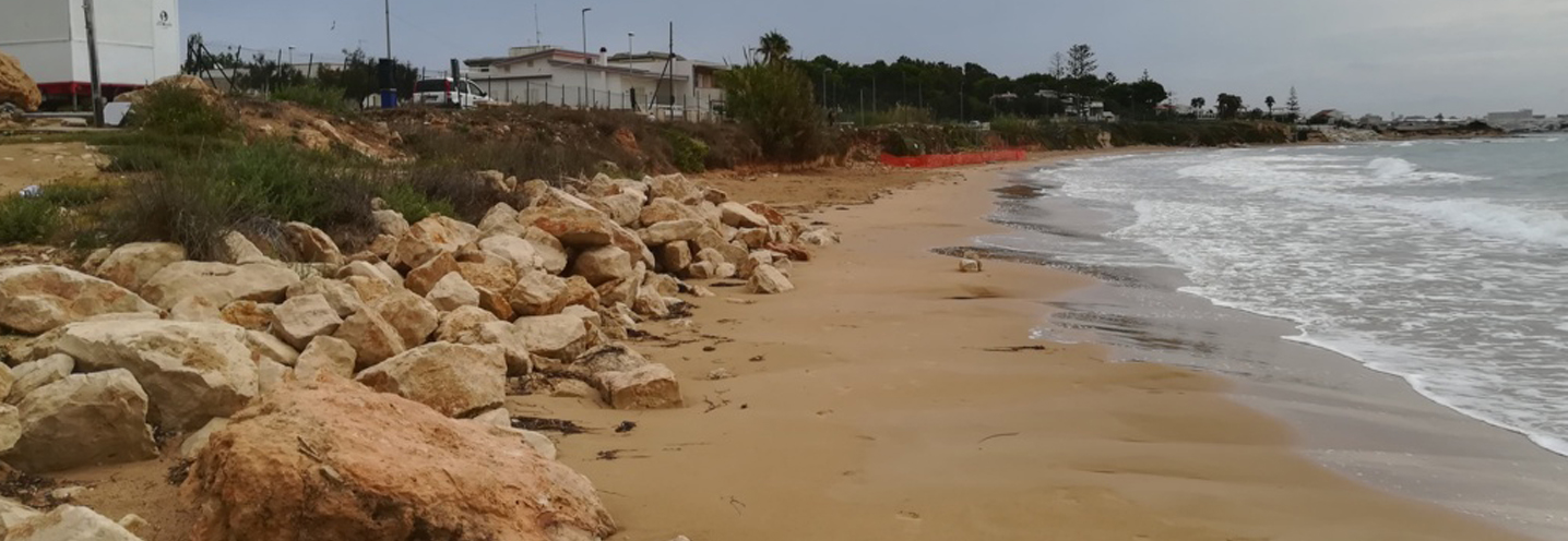
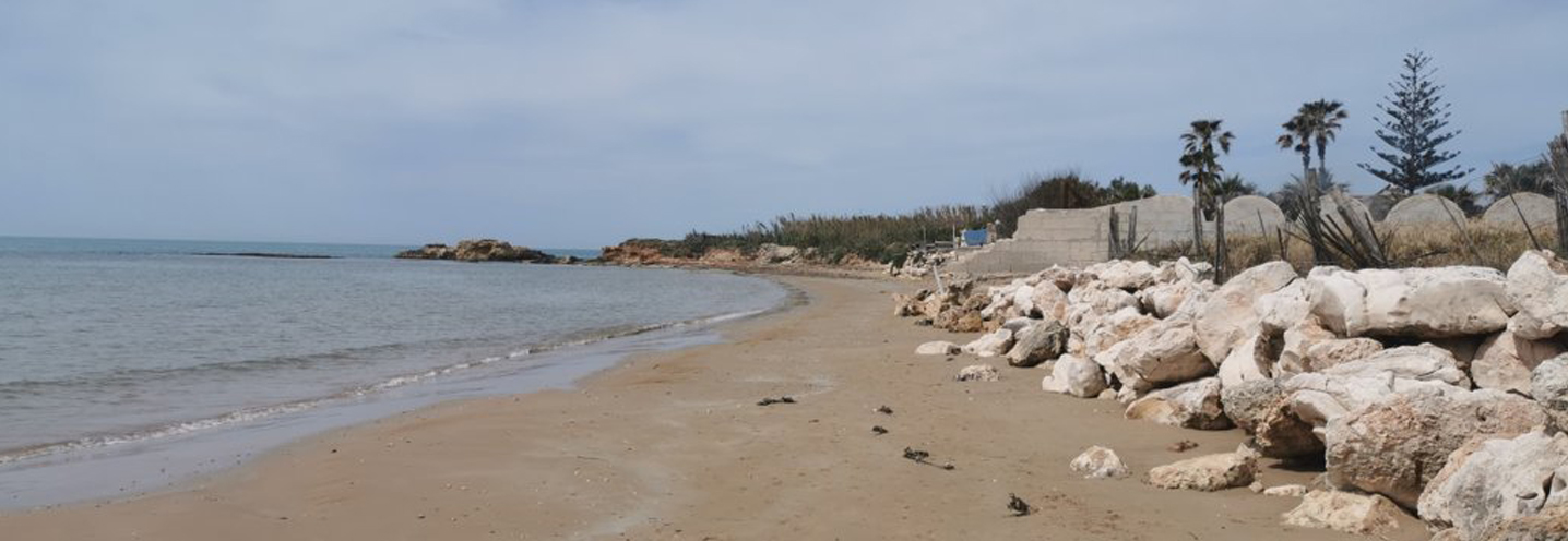
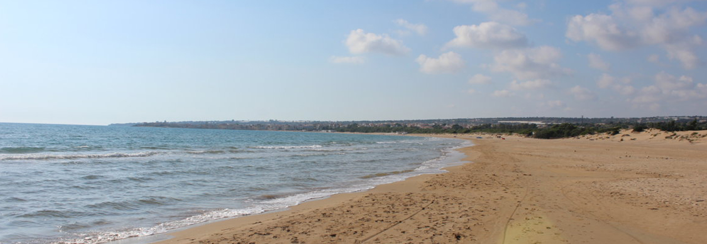
- Scicli – Donnalucata Ovest porto
Pocket beach code: SIC63RG04
This Pocket Beach (PB) is located in the south-eastern part of Sicily, in the province of Ragusa, just west of the port of Donnalucata, in the municipality of Scicli. It falls within the Physiographic Unit of PAI No. 7, which has “Punta Braccetto” as its western limit and “Isola delle Correnti” as its eastern limit.
The PB is classified as semi-natural, as it is delimited to the east by the pier of the port of Donnalucata and to the west by a prominent promontory. There is no cliff behind this PB and no water courses flow.
The western side of the PB is made up of litholgies from the Ragusa Formation. This includes fossils, white-greyish or white-yellowish calcarenites, and calcirudites. The immediate hinterland is characterised by an outcrop of grayish limestone alternating with marly limestone layers, with attachedHolocene detrital deposits.Other limestone deposits with little evident stratification are also present in this area.
Finally, to the east of the beach, an alluvial fan becomes predominant, followed towards the sea by a coastal plain deposit and a small dune outcrop.
The sediments of the PB fall into the class of fine sands, yellowish in color, with a predominantly quartz composition and to a lesser extent carbonate.
- Scicli – Cava d’Aliga
Pocket beach code: SIC64RG05
This Pocket Beach (PB) is located in the south-eastern part of Sicily, in the province of Ragusa, and precisely in the town of Cava d’Aliga, a beach resort in the municipality of Scicli. It belongs to the Physiographic Unit of PAI No. 7, which has “Punta Braccetto” as its western limit and “Isola delle Correnti” as its eastern limit.
The PB is delimited to the north-west by “Punta Bruca” and to the south by “Punta d’Aliga” and does not have a cliff behind it. Behind the PB, aeolian sands and dunes are predominant. All around the PB there are numerous outcrops of yellowish limestone with little evident stratification.
Alluvial conoids and coastal plain deposits become predominant in the area to the north-west of the PB, while in the east area greyish calcarenites alternating with marly limestone layers of the Ragusa Formation emerge.
The sediments of the PB fall granulometrically in the class of fine and medium sands, yellow in color, with a predominantly quartz composition and to a lesser extent carbonate.
- Scicli – Sampieri Costa di Carro
Pocket beach code: SIC65RG06
This PB is located in the south-eastern part of Sicily, in the municipality of Sampieri (Ragusa – south-eastern Sicily), in the locality of Costa di Carro. It falls within the Physiographic Unit N. 7, between “Isola delle Correnti” to the east and “Punta Braccetto” to the west.
The promontories that delimit this PB are not higher than 10m above sea level, and there is no cliff behind the PB. In fact, behind the PB there is a waterway called “Cava Tripatore”.
The eastern part of the PB is geologically characterised by grayish calcarenites alternating with calcareous-marly layers and by a phosphatiferous hard-ground.
The beach sediments are made up of fine, well-classed, yellow sands, with a predominantly quartz composition and to a lesser extent carbonate.
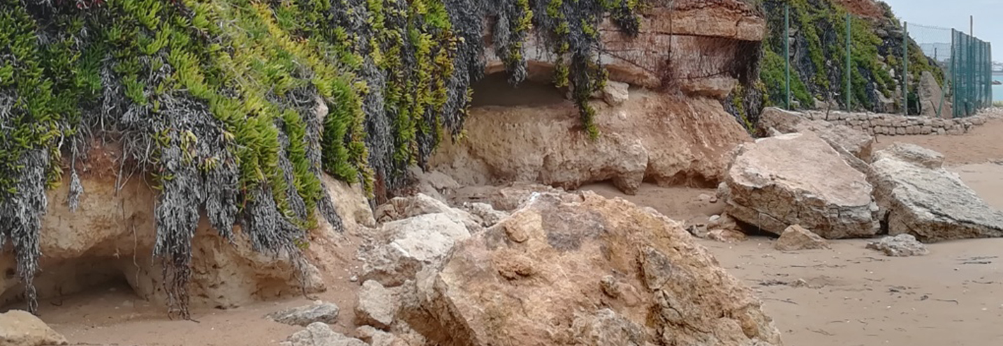
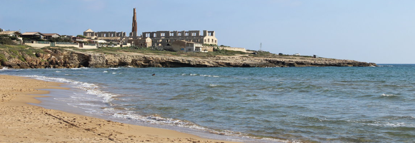
- Scicli – Sampieri Fornace Penna
Pocket beach code: SIC66RG07
This Pocket Beach (PB) is located in the south-eastern part of Sicily, in the province of Ragusa, and more precisely in the municipality of Sampieri, within the Fornace Penna area. It belongs to the Physiographic Unit of PAI No. 7, which has “Punta Braccetto” as its western limit and “Isola delle Correnti” as its eastern limit.
The main characteristic of this PB is the Fornace Penna, an industrial acheology site on the eastern promontory. This was built around 1912. The promontories at this PB are quite prominent and there is no cliff at the back of the PB. The area features a stream called ‘Cava Labbisi’.
The area behind the PB is largely made up of recent alluvial deposits and coastal plain deposits, while the promontories mainly feature greyish calcarenites alternating with calcareous-marly layers. On the western promontory there are also small outcrops of white, grey, and yellow calcarenites and calcirudites, as well as the hard-ground phosphate. A small outcrop of grey-blue marl with sub-conchoidal fractures of the Tellaro Formation occupies the area north-east of the PB. Finally, there are numerous terraced marine deposits consisting of white-yellowish carbonate sands.
The beach sediments are made up of fine, yellow sands, with a predominantly quartz composition and to a lesser extent carbonate.
- Modica – Marina di Modica
Pocket beach code: SIC67RG08
The Pocket Beach (PB) is located in the south-eastern part of Sicily, in the province of Ragusa, and precisely in the municipality of Modica (Marina di Modica). It belongs to the Physiographic Unit of PAI No. 7, which has “Punta Braccetto” as its western limit and “Isola delle Correnti” as its eastern limit.
The PB is delimited to the south-east by Punta Regilione and to the north-west by a small pier. A water stream is present in the area.
The geological context sees a clear predominance of greyish calcarenites alternating with calcareous-marly layers, which characterise both the promontories of the PB.
Behind the PB there is an alluvial deposit that includes current and recent sediments. Further to the north-west, one can find blue-grey marls with sub-conchoidal fractures. To the north-east of the bay, there is a marine terrace that developed parallel to the coast line.
Granulometrically, the sediments of the PB fall into the class of fine, well-classed, yellow sands, with a predominantly quartz composition and to a lesser extent carbonate.
- Modica – Maganuco
Pocket beach code: SIC68RG09
The PB of Maganuco is located in the south-eastern part of Sicily, in the municipality of Modica (province of Ragusa). It belongs to the Physiographic Unit of PAI No. 7, which has “Punta Braccetto” as its western limit and “Isola delle Correnti” as its eastern limit.
The PB is delimited to the east by Punta Raganzino and to the south-west by Punta Regilione and it does not have any cliffs behind it. A small stream called Maganuco flows onto the beach.
From a geological perspective, the PB features a clear predominance of greyish calcarenites alternating with calcareous-marly layers, which almost completely surround the PB.
Behind the PB there is an alluvial deposit, while in the western area one can find a marine terrace, which is subparallel to the coast line.
The innermost western zone is characterised by blue-grey marls with sub-conchoidal fractures, while the promontory consists of calcarenites, white-grayish or white-yellowish calcirudites, and a fossil-like hardground.
From a granulometric point of view, the sediments of the PB fall in the class of fine, well-classified yellow sands.

- Ispica – Porto Ulisse
Pocket beach code: SIC69RG10_11_12
This group of three Pocket Beaches (PB) is located in the south-east of Sicily, in the province of Ragusa, and more precisely in the municipality of Ispica, in the Porto Ulisse area. The PBs fall within the Physiographic Unit of PAI No. 7, which have “Punta Braccetto” as their western limit and “Isola delle Correnti” as their eastern limit.
The far western limit is represented by “Punta Ciriga”, while the eastern one is represented by “Punta Castellazzo”. In addition to the 3 main PBs, there are numerous inlets with microbeaches, surrounded by cliffs.
The central PB (SIC69RG11) features a small flowing stream.
The promontories that delimit the PB are essentially made up of biocalcarenites passing through limestone marls with remains of molluscs and bryozoans, while the rest of the area, both in the east and west, has a series of recent alluvial and coastal plain deposits, characterised by carbonate pebbles of variable dimensions, from centimeters to decimeters, in sandy-silty yellow-brownish matrix.
From a granulometric point of view, the sediments of the PB are classed as fine yellow sands. They are primarily composed of quartz clasts, and secondarily of carbonate clasts.